Showing posts with label history. Show all posts

Robbery at the Prospect of Whitby

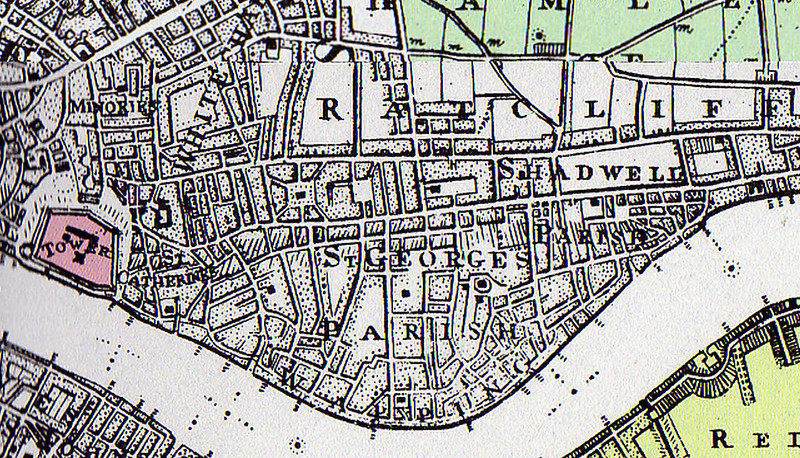
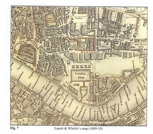
Many know about the Prospect's association with Princess Margaret, Grace Kelly and Richard Burton, but what of the armed robbery of Saturday, January 10 1953?


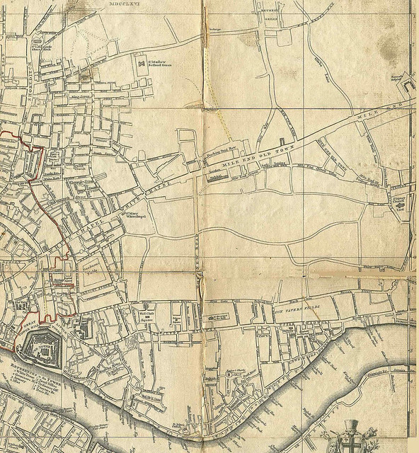
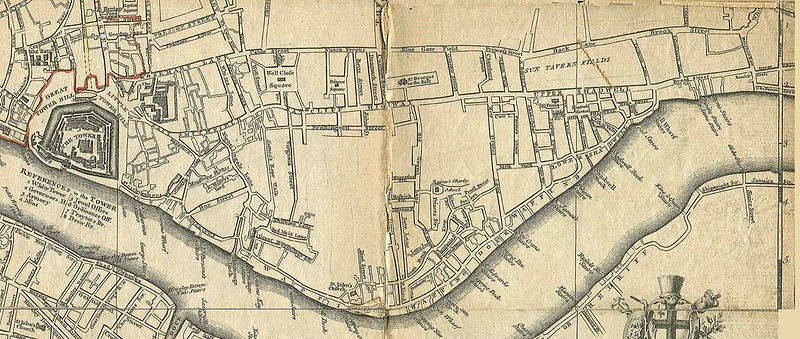
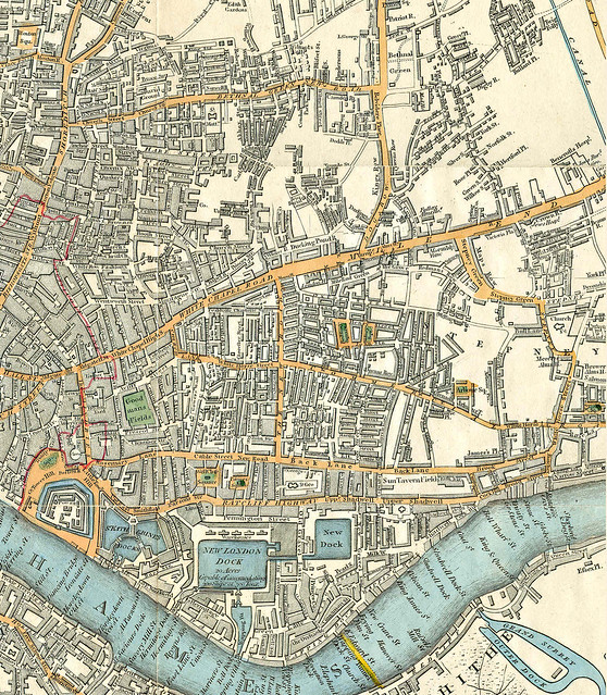
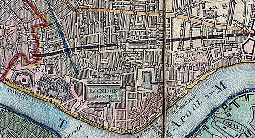
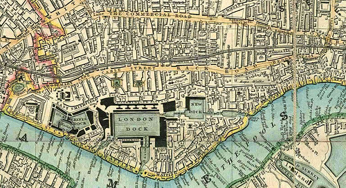
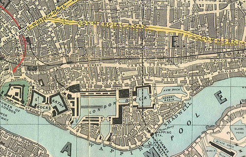
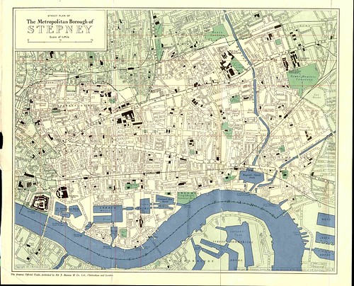
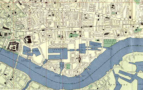
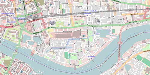
It had been a chilly, but reasonably mild January day in Wapping. As the clock approached midnight the Prospect was closed and empty, other than the manageress Eva Johns and two barmen tidying up the pub. Fresh sawdust was scattered across the floor. Voices from the first floor seeping through the ceiling and down the stairs.

Anthony Owen Lynch, aged 40, was sat in his Daimler waiting patiently, the temperature skirting above zero. He had been hired by Captain Cunningham for the evening to chauffeur some of his party to and from the pub. Lynch would have known it would soon be time for the party to depart. It had been foggy most of the day, and would have been growing thicker as Lynch sat in the car.


Owen Cunningham

In the pub, Owen Cunningham, or Captain as he liked to be styled had been dining with a small group of friends and made his way to the stairs. Their meal had been hosted by George Broadbent, the licensee in the upstairs Samuel Pepys restaurant. Captain Cunningham was well known in society circles, both for his eponymous oyster bar on Curzon Street in Mayfair and for his private life. Tales of his antics appeared regularly in the press, including notably a fist fight with the Duke of Marlborough at the Twenty One Club in 1949.

Cunningham's divorce had kept the papers busy, not only for the scandal of a society divorce, but for his wife's imprisonment during the proceedings for contempt of court. Across the Commonwealth, newspapers carried stories of the socialite going from Mayfair to Holloway in a Rolls Royce. Her temporary incarceration arising from interfering with witnesses set to testify to her adultery. In the run up to the divorce proceedings Cunningham had even been forced to resort to advertising in The Times to ensure his estranged wife did not obtain credit using his name. Yet even once the decree nisi was granted, press attention did not fade, as scandal raised its head again when Jessie was declared bankrupt shortly after.

Outside the pub, in the thickening fog, Lynch's car door was opened, a figure stood beside Lynch, draped in a light coloured raincoat. as Lynch turned to confront the stranger, he was taken aback, not only by the petulance of this interloper but by the fact that the figure's face was concealed by a red scarf; only the stranger's eyes revealing the danger Lynch now found himself in. The figure's arm extended and Lynch knew instantly that the evening was not going to plan. A revolver was being pointed at him. A second figure, identically dressed but holding a  truncheon stood beside him and a third identical figure became apparent and ordered him out of the car.

Lynch was ordered to walk to the pub door and beckon the staff to let him in. Lynch knocked and called at the door until one of the barmen opened it. As the door opened, and the cold night air poured in, two of the gang grabbed the barman and dragged him inside. Lynch, restrained by a third member of the gang was thrown to the floor.

At this moment, Captain Cunningham and his party were walking down the stairs. As Cunningham descended, he would have seen the manageress and two barmen lying on the floor, and the back of the chauffeur who had driven them to pub. More disturbing than this were the three masked figures; three demons in trench coats. Two of the figures dashed to him, and shouted in the style of so many gangster movies “this is a stick-up”.


Patrick Campbell

Neither the honourable Patrick Campbell, first son of Lord Charles Campbell, second Baron Glenavy, nor his wife Cherry, had expected their meal to end with a taste of sawdust and on being told to get on the floor Campbell refused, and was rewarded by having his head cut open by the butt of the revolver.

The diners and bar staff were ordered upstairs, presumably away from the ground floor windows. Cunningham and his party were thrown to the floor, their faces resting on the fresh sawdust, lying with the bar staff, staring at the wooden floor. There on the floor lay Lynch, Cunningham, Mr and Mrs Campbell, Elizabeth Smith, Mr Peter Brusey, a solicitor’s managing clerk and his wife, two barmen, Eva Johns, the manageress and George Broadbent the landlord.

When the anyone tried to turn their heads to see what was going on, a threatening flick of the truncheon or revolver was directed perilously close to them.

"Keep your eyes down" came the command from somewhere in the room every time one the prisoners moved. The gang collected wallets, money and jewellery from their captives. Eva Johns was forced to hand over the key to the safe, which with two tills were emptied into an old fish bag.

After finishing their work, the thieves had acquired £1,000 from the safe, from George Broadbent a watch and a diamond ring worth £2,500, rings worth £47 from Eva Johns, £8 from Peter Brusey, £75 from Captain Cunningham, three bracelets worth £10 from Elizabeth Smith, 5s from Patrick Campbell and a bracelet worth £2 from Cherry Campbell.

The thieves were unrelenting, even taking Peter Brusey’s umbrella.

Find out what happened next in part 2 of....Robbery at the Prospect
Should have dined at home?

New Town Planned on Wapping Docks Site. Sound Familiar?

From The Times, July 15, 1970. Former dock to be built on to create thousnads of new homes with a seconday school. Deja vu all over again?

Plans to create a small new town in the Wapping area of London's dockland were outlined yesterday by the Greater London Council and Tower Hamlets Borough Council.
The plan for the area, which includes 103 acres of Port of London Authority land released by closure of the London Docks 18 months ago, envisages new homes to house some 12,000 extra people, and the filling in of most of the 35 acres of dock basins.
The outline plan to be put on show to the public next Monday, shows only the framework of future development. Thus although the proposed new housing is stated to be 75 per cent a borough and 25 per cent, G.LC. responsibility. Mr. John Hume, the Tower Hamlets chief architect and plainer, emphasized that choice of building agencies was still open, and building for sale was by no means ruled out.
The study covers an area from the edge of the St. Katharine's Dock development near the Tower (where redevelopment starts later this year) to King Edward VII Park, Shadwell in the east; and from the river to The Highway, the widened east-west road. It envisages a mile-and-a-half continuous riverside walk linking open spaces: loop-roads off The Highway for local traffic; and footpaths linking the riverside with shopping centres and with Watney Street market.
New schools are provided for, as well as a polytechnic building and a further education centre. One wedge of open space is sited so that work on the proposed Pool of Londorn road tunnel and its approaches need not involve fresh demolition.
London Transport's proposed Fleet Line is seen as crucial to the vitality of the area. Introducing the plan. Dr. Gerard Vaughan, chairman of the G.L.C.'s strategic planning committee, said it was determined to see the whole of the available 1,000 acres of dockland as one exciting opportunity, not as a series of unrelated packages.
Dr. Vaughan talked of  "1,000 acres" of docks as the port's trade moved down river. This suggests that, in addition to London and Surrey docks he expects other parts of the system to become redundant in the next few years.
The public exhibition of the plan is at Oliver's Wharf, Wapping High Street (near the junction with Scandrett Street), July 20-25, 11 a.m.-8 p.m. daily: St. George's in. the East, Shadwell, July 29-August 2: and the East End Mission, 583 Commercial Road, August 5-12. Wapping underground station, 1970, and (right) an artist's idea for the future station when Wapping is revitalized as an attractive environment.

Historic population trends

Another day, another statistical release, this time providing some longitudinal data over two centuries on London's population.

This first chart shows how London's population has grown and developed since 1801, growing from just shy of 1 million to 8 million. What is of particular interest though, is how this growth has not been in central London, but in the 'rest of inner london' during the 19th Century, with the greatest population growth (or shift) in the 20th century being in outer London


Indeed, at the beginning of the period, about 85% of 'Londoners' (though those not living in central London might not have considered themselves as such) lived in inner London, with 40 % of the population living in Central London, yet today less than 10 per cent of the population live in central London, with a broadly similar number of residents as in 1801.


If we look at the borough level, we can see that LBTH (light orange), Westminster (light green) and Southwark (light purple) had the largest populations in 1801 and continued to grow until the 1870s (Westminster) or the 1900s (LBTH, Southwark). Particularly striking was the flatlining in population in The City,  until the 1850s and then a period of continual shrinking of population, which has remained consistently low since the 1950s.


What I find quite interesting is the clustering of populations of individual boroughs in the post-war period, perhaps as a result of post war building projects, or perhaps simply expansion and spreading of populations as population densities decreased with improved living conditions.

In Tower Hamlets, populations peaked in 1901 and declined until 1981. I had assumed depopulation in Tower Hamlets was due to the closure of the docks post-war, when in fact, the majority of the depopulation occurred in the first half of the 20th century. By 2011, the population in LBTH had recovered somewhat, but was only as great as in 1951.
Indexing the data, so that for all boroughs 1801=100, we can see the significant divergence in population change. Brent (green-blue) has seen massive population growth, whilst for a number of boroughs, growth has come in the post war period.


Plotting the same data using a logarithmic vertical axis we can see some of the variation in population growth slightly better, with The City showing its population decline over the period.


When it comes to looking at the rate of growth in number of dwellings built since 1961, the average growth has been about 40%, except in The City (Dark Blue), wher there has been a quadrupling of dwelllings, suggesting that at least for a handful of people, that living in The City has been desirable, whilst all other boroughs have increased their housing stock at a broadly similar rate. [The chart below shows the number of properties, indexed to 1961]


Wapping Week-ends

I reproduce a 1930s pamphlet on Toc H, or, Talbot House, a former weekend retreat at Pierhead, Wapping.


Read more »

An Introduction to Wapping-on-the-Woze

An introduction to Wapping from a 1938 pamphlet called 'Week-end at Wapping' that I bought on eBay.


The pamphlet concerns 'Pierhead House', which was owned by 'Toc H', or Talbot House, a Christian movement that began during WW1 for soldiers in Belgium and was used for weekend retreats. I'll be publishing the rest of the pamphlet in another post.

Read more »

A Night with the Thames Police


A description of a night on patrol from The Strand Magazine

Read more »

Development of the East End


Before looking in depth at the boundaries of Wapping, I thought it would be interesting to consider how the East End of London and specifically Wapping has grown over time. I focus here on the 18th and 19th Century. I'm still looking for some good 20th century maps, so feel free to suggest some.

After having a look at the St George in the East website, which is a true treasure trove of information on Shadwell and Wapping (St George used to be the parish church for an area that extended broadly from Royal Mint, Wapping and Shadwell, and I will try and find some historic parish maps when considering boundary issues at a later date), I found a link to a wonderful resource, the East London History Society which has a good selection of historic maps through the late 18th and 19th century. I should also credit Sabiha Ahmad at the University of Michigan for digitising the 1889 Booth's Poverty map, which I have stitched together from a number of tiles.
The post is a bit long, but I think it offers a useful understanding of how Wapping has developed overtime. Blogsy, the app I used to include the photos appears to have deleted the hyperlinks to the high-res photos, but these can be  found here or on the pages above.


1766 Merrick Map

Looking at the area in 1776, we can see that there was little in the way of development to the east of The City by the mid-to-late-18th century, certainly judging by the absence of roads, with only the area bounding the river showing showing any real density of roads, with the northern boundary of this area of development being Cable Street.


1776 Merrick Map
Looking at Wapping in greater detail the principal roads, which we now know as Wapping High Street, Wapping Lane and Garnet Street (the latter two labelled here as Old and New Gravel Lane respectively). Buildings of note included on the map are St George in the East and St Paul's churches and Raine's charity school.

1769 Roque Map

There are a few maps on the Internet attributed to Roque. This one I think dates to 1769, so only a few years later, but displays the density of buildings better. I've stitched this together from two largish scale maps, hence the join in the middle.
What this map really shows well is the fields in the centre of Wapping and which, as we'll see became the London Docks. The 'bad north' of Wapping, shows a degree of development spreading East from the city, and notably around Wellclose square, which is now the site of Shapla and St Paul's schools.


1769 Roque Map

1800 Milne Map

In the following 30 years, the fields between Cable St and Aldgate High St/ Whitechapel Road begin to be developed, particularly north of Wellclose Square (below and to the left of the 'R' of Ratcliffe), and we begin to see buildings on the north side of Cable Street. However, the East End is still an area of open space. The Limehouse Cut canal is visible as the black diagonal line at the right hand side of the map just touching the 'E' of Limehouse.


1800 Milne Map
However, we can see that the Wapping peninsula appears to almost be completely developed when one looks at the increased number of roads. Of note is the number of routes down to the river, though notably, still with relatively few east-west routes, possibly indicating the relative importance of moving goods from riverside wharves.

1802 Fairburn Map

Fairburn's map two years on shows a similar level of development as the previous map but with one very significant difference...


1802 Fairburn Map
On this map we first see the London Docks, as an overlay on the pre-existing street layout, with the western Dock and what is now Pierhead (and the John Orwell centre) coloured in blue.
Work began on the docks in about 1799, with the first dock opening in 1805 (according to Wikipedia) so it looks as though Fairburn decided to include some level of future proofing in his map!A subtle difference between this and the Milne map I find interesting is the inclusion of Fawdon Fields, which seem to have been blocked as development in the Milne map. The yellow outline around the fields demarks the ultimate extent of the future dock system, and looking north we see the intended course of Commercial Road, straightening out some of the bends in the existing road. At this point, one really understands the name of the Commercial Road, we're not talking about a road named for its shops, rather, a brand new road, in an almost straight line from The City to the docks on the Isle of Dogs.


1810 Laurie & Whittle Map

Less than ten years later, we can see that a large element of Wapping has actually been cleared, ready presumably for the expansion of the docks.


1810 Laurie & Whittle Map

1822 Carey Map

Another decade and the Commercial road has been built, though not quite as straight as desired, and the space between it and Cable St is largely filled in. Indeed, solid development stretches up to Bethnal Green Road, although not quite filling the area bounded on the east by Cambridge Heath Road.
Looking south, we can see Wapping has a 'New Dock' and the Tobacco warehouse has been built and St Katharine Dock makes an appearance for the first time. A yellow line at the bottom right shows the proposed Thames Tunnel (construction 1825-43).


1822 Carey Map

1831 Cruchley Map

Progress slows over the next 9 years, though we can see the Regent Canal which was completed in 1820 (you can just see it in the top right corner of the previous map) and Limehouse Cut (completed 1777) on this map. Notice that at this point the Limehouse Cut doesn't meet Limehouse Basin (and didn't until the 1960s).


1831 Cruchley Map
The hermitage basin also appears as a body of water on this map, on the previous map you can see Hermitage Dock marked on, but I think this is just a dock on the river.

1840 Davies Map

There are a number of significant developments in the 1840 map:


  • The black line at the top is the Eastern Counties Railway, which initially in 1839 terminated at Devonshire Street in Mile End, before being extended to Bishopsgate station in1840. (Devonshire Street is now part of Bancroft Street, with the station being near the corner with Globe Street (you can see the red square)).
  • The lower black line is the new London and Blackwall Railway, terminating here at Minories, and which ultimately provided some of the viaduct for the DLR.
  • The Shadwell entrance to the docks and the new basin which opened in 1832 are shown for the first time.
1840 Davies Map

1844 Wyld Map

Only four years later we can see that eastward expansion continues in Stepney and Bethnal Green.


1844 Wyld Map


1853 Cross Map

By 1853 it appears that density of development in Wapping seems to have settled down. We can see however the London, Tilbury and Southend Railway branching off from the Blackwall Railway tracks at Limehouse.
I need to do some more digging into what the red and blue lines signify on the map, I think they may be parish boundaries.


1853 Cross Map

1864 Wyld Map

The 1864 Wyld Map's greatest interest is what appears to be the inclusion of a number of proposed railway lines and tunnels. It was in 1865 that the Thames Tunnel was acquired by the East London Railway, though a year earlier, there were clearly plans for its use, with what looks like a tunnel towards The City on a very straight and direct route, as well as a number of other linkages.
One route that did get built was the spur of the Blackwall tunnel to the East Smithfield goods depot, visible on this map, curling around towards the docks, and which Charles Dickens Jnr noted meant that the London Docks and Victoria Docks were linked directly by rail.
For the first time we can see a central pontoon/pier marked in the western dock – I don't know if this was a new construction, or just that it's the first time it was documented.


1864 Wyld Map

1875 WH Smith Map

By 1875 we can see the East London Railway marked on the map (having started operating in 1869) running to Shoreditch (and going underneath the Eastern Dock).
We can also see the expansion of Shadwell Basin that took place in the 1850s (which Wyld appears to have missed completely!), with the building of a new entrance and an expanded basin.


1875 WH Smith Map

1882 Reynolds Map

The 1882 map, clearly shows the two separate elements of the eastern end of the dock system. Not much more development is evident, though the map does nicely show some familiar road names.


1882 Reynolds Map

1889 Booth Poverty Map

In the 1889 Booth map, the continuing development of the Shadwell end continues, with there appearing to be a unification of the two dock areas, rather than the old and the new in previous maps.


1889 Booth Poverty Map

1952 Borough Map

A big jump in time, but not very much change, with Shadwell basin in its final state, although we can see two connecting canals, rather than the one ornamental canal we now have. The King Edward Memorial Park has been established as has Glamis Road.


1952 Borough Map

2012 Open source Map


Popular Posts